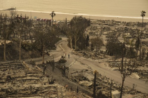
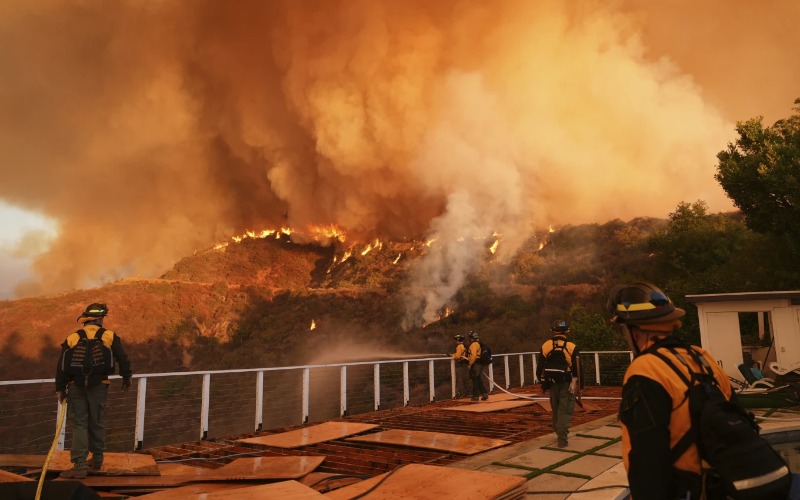
As of Jan. 15, the Palisades Fire, Hurst Fire, and Eaton Fire have collectively burned over 40,000+ acres, destroyed 12,000+ structures, caused at least 24 fatalities, and forced the evacuation of more than 100,000 people, according to Cal Fire. The combination of dry conditions, arid vegetation, and the strengthening Santa Ana winds has created significant obstacles for firefighting efforts.
Several cutting-edge advancements are playing a crucial role in combating the devastating wildfires impacting Californians. These innovations are helping to enhance firefighting efforts, improve response times, and prevent further damage from these destructive blazes.
Cutting-Edge Drones
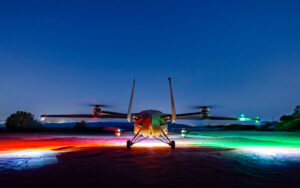
Cal Fire has significantly expanded its use of drones, now doubling their deployment for essential operations. Drones play a crucial role in tasks such as aerial ignition during prescribed burns, wildfire containment, and real-time assessments. Their ability to provide high-quality aerial footage and data is enhancing the effectiveness of wildfire management efforts.

Real-Time Data Tools
California is harnessing the power of real-time data to improve wildfire detection and response. The Fire Integrated Real-Time Intelligence System (FIRIS) provides real-time mapping of active wildfires, allowing for more precise decision-making during firefighting operations.
Satellite Tech and LiDAR
The state has advanced its use of mapping and satellite technology in wildfire management. In collaboration with the U.S. Department of Defense, California is utilizing satellites for early wildfire detection. Additionally, the state has invested in LiDAR technology to create detailed 3D maps of high-risk areas. These maps help firefighters navigate complex terrains and make better-informed decisions during wildfire suppression efforts.
Enhanced Incident Reporting Capabilities
Cal Fire has significantly improved its incident reporting system through updates to the fire.ca.gov website. The enhanced system now includes near real-time information, providing details about firefighting aircraft activity, 3D maps, evacuation orders, local shelter information, road closures, and more. This expanded functionality aims to provide the public with timely information during wildfire events.
AI Surveillance
In 2023, Cal Fire enhanced its surveillance capabilities by integrating artificial intelligence and smoke detection into its network of 1,114 cameras strategically placed on high-elevation locations.
These AI-powered cameras are capable of performing 360-degree sweeps approximately every two minutes. On clear days, they can detect activity up to 60 miles away, and on clear nights, the cameras can see up to 120 miles.


