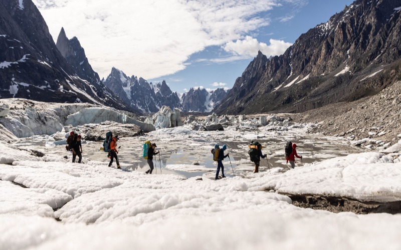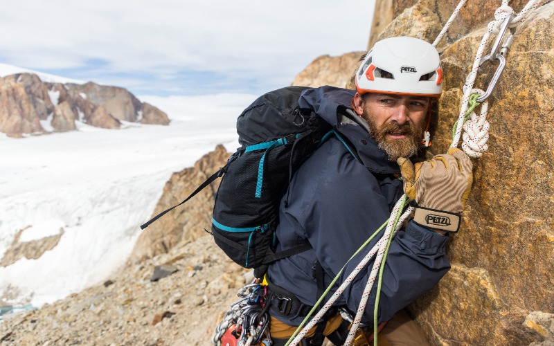
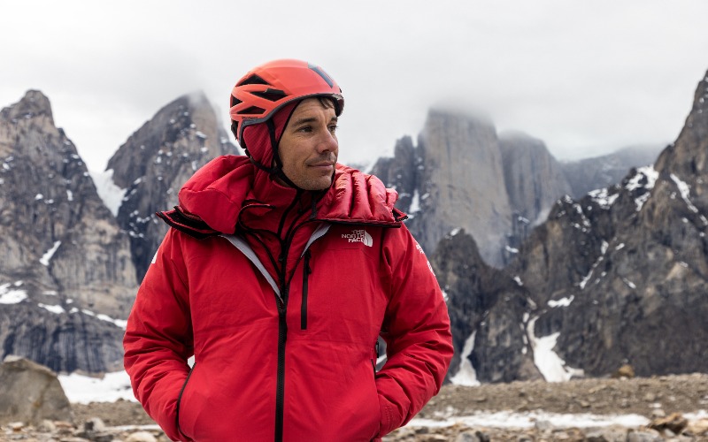
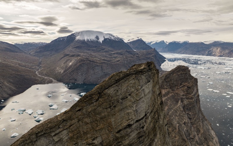
The exciting new series Arctic Ascent With Alex Honnold, which captures legendary Alex Honnold and a team of world-class climbers braving uncharted peaks of Greenland, premieres Feb. 4 on National Geographic and Feb. 5 on Disney+ and Hulu. The goal of the expedition is to summit the 3,750-foot rock formation Ingmikortilaq. Beyond the thrill of climbing, this journey is a groundbreaking exploration to discover the impact of climate change in remote areas.
The expedition’s safety and logistics lead, Aldo Kane, joined forces with Honnold while making the series. As a former Royal Marines Commando sniper and seasoned explorer, Kane navigated the treacherous terrain with precision and expertise. In an exclusive interview with Innovation & Tech Today, Kane shares details of this daring mission, such as the cutting-edge technology used for climbing and how the series contributes to climate change awareness.
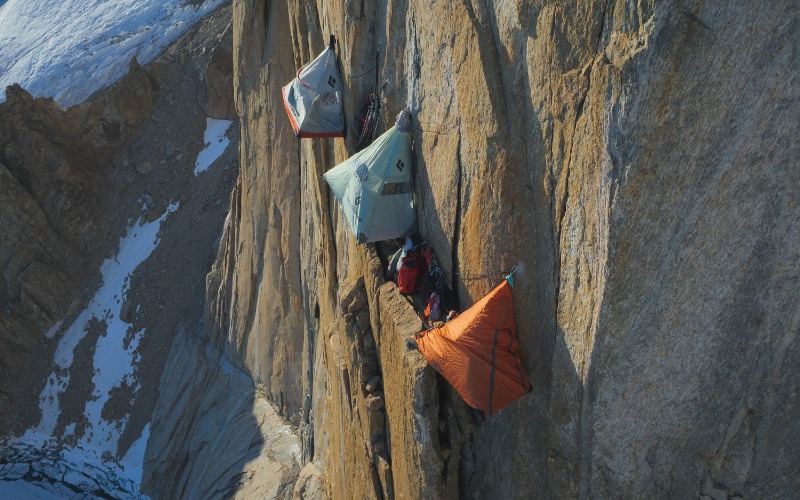
Innovation & Tech Today: What motivated you to join Artic Ascent?
Aldo Kane: I wanted to be part of it because it’s not just exploration and adventure, which is my background. I was in the Royal Marines and British Elite Forces for 10 years. I’ve been chasing that adventure and traveling around the world for 30 years now.
The last five years have also been about exploration, travel, and adventure, but with a deeper meaning- whether it involved climate and environment conservation or the protection of forests and wild animals. And so this fitted firmly in that. It’s a pigeonhole of adventure with a purpose. Also, working with an elite team doesn’t get any bigger or any better, and the challenges themselves were just pretty epic.
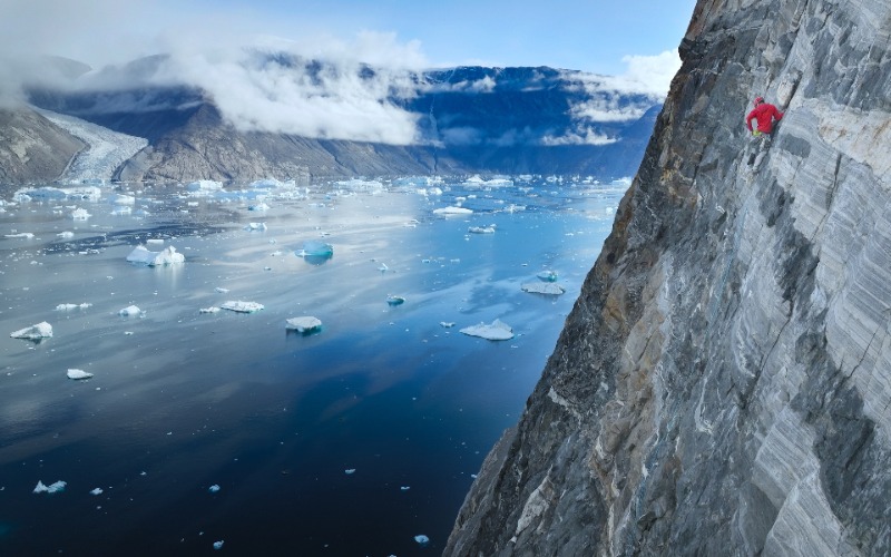
I&T Today: How did this expedition allow you to witness the impacts of climate change?
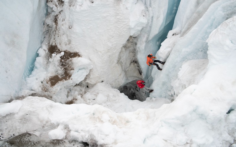
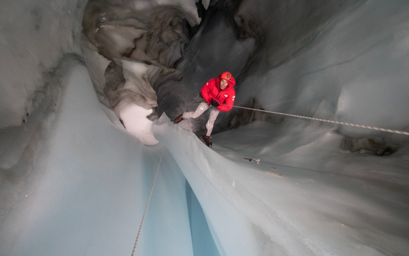
Kane: Glaciologist Heidi was with us, and her scientific narrative led us across the glacier during both climbs. It wasn’t just climbing. There was a lot of core sampling to do. For every single section of the trip, we collected data that was spread out around the world to different universities that don’t necessarily get time or access because it’s expensive to get to these places.
We were in this cool position of being in the place and then having a huge amount of data collection tools with us, from SONAR technology to measure the thickness of the ice to drills that would sample sections of the rock out.
And also on top of that, I was in the same place on an expedition maybe five years ago for BBC Expedition, so I saw the glacier and how far it had receded just in that time.
I&T Today: What was the goal once you have that information? What were the next steps with that?
Kane: All of the places we were at had no one to collect data. So effectively, what we now have is a data point from 2022. This is the first data point in all of this collection. So we now can see and witness annually or whenever people can get back out there, just how quickly this is happening or how quickly the climate is changing up there.
It’s very difficult to know where you are without a data point or somewhere to start. So, the main thrust of the expedition was to collect data, some of it for the first time, up on the ice sheet or an ice cap. We also dropped sensors from NASA in one of the fjords, collecting CTD (conductivity, temperature, and depth data) in the fjord.
Our expedition was hard work. We climbers and expedition people were able to do what we did and then collect data points that go around the world. And that allows scientists and the scientific community to use that data.
I&T Today: What technology did you use specifically for safety and logistics during this expedition?
Kane: In the part of Greenland where we were, normal cell phone coverage doesn’t work. As far as safety goes, we would use a SAT phone. There were two separate SAT phones on different networks for redundancy. We also had a Garmin inReach. It’s essentially satellite messaging.
Also, I used an app on my phone called Gaia, which allowed me to record routes and waypoints. Effectively, what I do is I have several different systems so that if one goes down, I have a backup. Obviously, I also navigate using a map and compass. I’ve also done seven expeditions in 2023, and we take a Starlink with us now, which is an absolute game-changer.
I&T Today: How do you think expeditions like the Arctic Ascent contribute to raising awareness about climate change?
Kane: I am a firm believer that travel is one thing that people shouldn’t restrict. That’s my personal view because when you restrict travel, you end up with communities in silos. Communities in silos end up fighting each other. We can see it all over the world. Travel, for me, is the one thing that brings people together.
It’s a difficult one because the climate is struggling, and when it comes to making a film like this, it’s all about reducing the footprint as much as we can.
But it’s also about how many people can be influenced or impacted by a film that goes out on Disney and National Geographic. I don’t know what the numbers would be, but to show someone a glacier that’s carving and to link that with something that they might be doing or could help with. Say 50 million people see it. That’s quite a high bang for the buck with regards to getting a message across.
That’s how I write it in my head. If X amount of million people see it and one person decides to study glaciology in their Ph.D. and they come up with the tech that makes a difference, it’s worth it.
I&T Today: What can viewers expect from Arctic Ascent? And what do you hope that viewers will take from the series?
Kane: I think what they can expect is an amazing adventure in one of the most unbelievable landscapes on the planet. Each episode will keep them on the edge of their seat pretty much all the way through. But underlying that, there is the stealth learning that comes with studying glaciology, navigating about climbing, collecting data for organizations, and ultimately climate change. It’s an adventure with a purpose.


